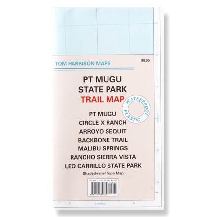
Santa Monica Point Mugu State Park
Tech Specs
Les fiches techniques sont tenues sur Pack4Back GearDB (communauté et historique des versions). Des écarts avec le fabricant ou ton matériel sont possibles.
Description
This shaded-relief topographic map details the trails of Point Mugu, Circle X Ranch, Arroyo Sequit and other Santa Monica area trails.
Points clés
- Waterproof map unfolds to 24 x 18 inches, single-sided; folds to 8 x 4.5 inches
- Features color-coded symbols and trails, mileage between trail junctions, latitude/longitude, contour lines, UTMs and up-to-date elevations
- Map scale: 1:31,680; contour interval: 50 feet
- Tom Harrison Maps; copyright 2005