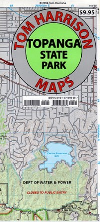
Topanga State Park Map
Tech Specs
Les fiches techniques sont tenues sur Pack4Back GearDB (communauté et historique des versions). Des écarts avec le fabricant ou ton matériel sont possibles.
Best UseHiking
Folded Dimensions20.3 × 11.4 cm
Unfolded Dimensions66.0 × 43.2 cm
Map Scale1:31,680
Double SidedYes
WaterproofYes
PublisherTom Harrison Cartography
Copyright Year2014
State / ProvinceCalifornia
Description
Discover a scenic jewel of Southern California with the Tom Harrison Cartography Topanga State Park Map, a full-color shaded-relief topographic map on high-quality tear- and water-resistant paper.
Points clés
- Hidden in plain sight, the Santa Monica Mountains offer easy access to surprisingly wild places with hundreds of miles of trails
- This map also includes the many private property boundaries that hikers should respect by staying off, avoiding trepassing
- Includes the Topanga, Will Roger, Tuna Canyon, Backbone Trail, Red Rock Canyon and Temescal Gateway areas
- Full-color shaded-relief topographic map on high-quality tear- and water-resistant paper; folds up easily and is easy to read in all conditions
- Tom Harrison maps include color-coded symbols and trails, mileage between trail junctions, UTM grids, contour lines, vegetation and elevations at trail junctions