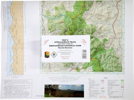
Appalachian Trail Map: AT and Other Trails in Shenandoah National Park North District
Tech Specs
Les fiches techniques sont tenues sur Pack4Back GearDB (communauté et historique des versions). Des écarts avec le fabricant ou ton matériel sont possibles.
BrandPATC
Best UseHiking
State / ProvinceVirginia
Folded Dimensions19.1 × 10.2 × 0.3 cm
Unfolded Dimensions73.7 × 55.9 cm
Map Scale1:62,500
Double SidedYes
WaterproofYes
PublisherPotomac Appalachian Trail Club
Copyright Year2013; revised 2015
Map Number9
Description
This map covers sections 1 and 2 of the Appalachian Trail—and all side trails—in Shenandoah National Park's North District.
Points clés
- Printed on water-resistant and tear-resistant synthetic stock in six colors for excellent detail and durability
- Five-kilometer full UTM grid permits easy plotting or extraction of coordinates for use with GPS units
- On the back side are detailed enlargements of the Dickey Ridge Visitor Center and the Mathews Arm Campground
- Supplies text regarding Shenandoah National Park
- Portrays side trails and forest access routes from adjoining communities to the Appalachian Trail
- Includes an elevation profile of the Appalachian Trail between Chester Gap and Thornton Gap
- Scale of 1:62,500; contour intervals of 100 feet
- Map measures 27.5 x 19 inches and folds to 6 x 4 inches
- Potomac Appalachian Trail Club; copyright 1994, revised 2002