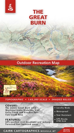
The Great Burn Map - 2nd Edition
Tech Specs
Les fiches techniques sont tenues sur Pack4Back GearDB (communauté et historique des versions). Des écarts avec le fabricant ou ton matériel sont possibles.
BrandCairn Cartographics
Best UseHiking
State / ProvinceIdaho
Folded Dimensions21.0 × 10.8 cm
Unfolded Dimensions99.3 × 63.8 cm
Map Scale1:63,360
Double SidedYes
WaterproofYes
PublisherCairn Cartographics
Copyright Year2022
Description
Made and researched locally, the 2nd edition of The Great Burn Map covers the area on the Montana/Idaho border just west of Missoula including Kelly Creek, Hoodoo Pass and the Fish Creek area.
Points clés
- Topographic/shaded relief
- Forested and nonforested areas
- GPS-verified trail locations and mileages
- GPS-compatible UTM and lat/long grids
- Contour interval: 100 feet
- Waterproof and tear-resistant