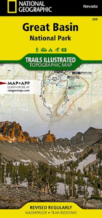


Great Basin National Park Topographic Map
Tech Specs
Les fiches techniques sont tenues sur Pack4Back GearDB (communauté et historique des versions). Des écarts avec le fabricant ou ton matériel sont possibles.
BrandNational Geographic
Best UseHiking
State / ProvinceUtah
Folded Dimensions23.5 × 10.8 cm
Unfolded Dimensions95.9 × 64.8 cm
Map Scale1:45,000 and 1:20,000
Double SidedYes
WaterproofYes
PublisherNational Geographic
Copyright Year2021
Map Number269
Description
Expertly researched and created in partnership with the park, this National Geographic Great Basin National Park topo map is a valuable tool for exploring the area's natural beauty and solitude.
Points clés
- Features trail networks in the park along with key points of interest including Lehman Caves, bristlecone pine groves and the Snake Range
- Includes 2 detailed inset maps of the Wheeler Peak and Baker Lake areas
- Shows contour lines and elevations for summits, passes and several lakes
- Notes a variety of recreation features including campgrounds, trailheads, picnic areas and scenic viewpoints
- Full UTM grid is printed on the map to aid with navigation
- Printed on Backcountry Tough waterproof, tear-resistant paper
- Your purchase helps support National Geographic Society nonprofit's mission of research, education, conservation and exploration