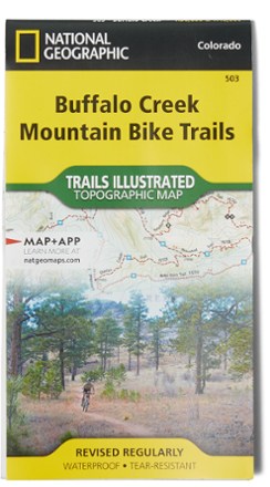

Buffalo Creek Mountain Bike Trails Topographic Map
Tech Specs
Les fiches techniques sont tenues sur Pack4Back GearDB (communauté et historique des versions). Des écarts avec le fabricant ou ton matériel sont possibles.
BrandNational Geographic
Best UseMountain Biking
State / ProvinceColorado
Folded Dimensions19.1 × 10.8 cm
Unfolded Dimensions66.7 × 49.5 cm
Map Scale1:30,000 & 1:40,000
Double SidedYes
WaterproofYes
PublisherNational Geographic
Copyright Year2019
Map Number503
Description
No matter your skill—novice or rock-hopping daredevil—the Buffalo Creek Mountain Bike Trails topographic map is a detailed resource with ratings, clearly marked track and miles of rides for everyone.
Points clés
- Includes single- and doubletrack, turn-by-turn directions and commentary on interesting landmarks along the way
- Each suggested ride has a trail profile that clearly shows the climbs and decents, as well as trail crossings and other waypoints
- Back side includes a group of selected loops and trails for all riding abilities from beginner to expert
- Full, printed UTM grid aids with GPS navigation
- Features navigational grids, contours and hill shading; trail use; public lands and Leave No Trace ethics
- Printed on backcountry-tough waterproof and tear-resistant paper
- Covers the Buffalo Creek area and Pike National Forest