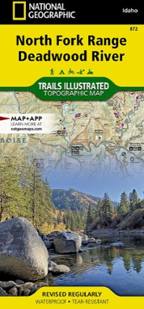


North Fork Range Deadwood River Topographic Map
Tech Specs
Les fiches techniques sont tenues sur Pack4Back GearDB (communauté et historique des versions). Des écarts avec le fabricant ou ton matériel sont possibles.
BrandNational Geographic
Best UseHiking
State / ProvinceIdaho
Folded Dimensions23.5 × 10.8 cm
Unfolded Dimensions95.9 × 64.8 cm
Map Scale1:75,000
Double SidedYes
WaterproofYes
PublisherNational Geographic
Copyright Year2022
Map Number872
Description
The expertly researched and highly detailed National Geographic North Fork Range Deadwood River topographic map will aid your Idaho exploration whether you're out on foot, bike, ATV or boat.
Points clés
- Covers Boise National Forest between Boise and McCall, Idaho, encompassing the North Fork Range and West Mountains on its west side and the Salmon River Mountains to the east
- All trails are marked and labeled with trail mileages and uses, with steep slopes clearly indicated
- Road mileages for navigating through the region are also marked and labeled to help estimate travel times
- Map margins include fishing, hunting and motorized vehicle regulations, plus contact information for local, state and federal land and resource management agencies
- Other features found on this map include Boise National Forest, Deadwood Reservoir, Goat Mountain, Lake Cascade and the North Fork Range
- Full UTM grid is printed on the map to aid with navigation
- Printed on Backcountry Tough waterproof, tear-resistant paper