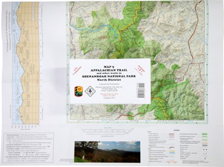
Appalachian Trail Map: AT and Other Trails in Shenandoah National Park North District
Tech Specs
Las especificaciones se mantienen en Pack4Back GearDB (edición comunitaria e historial). Pueden diferir del fabricante o de tu unidad.
BrandPATC
Best UseHiking
State / ProvinceVirginia
Folded Dimensions19.1 × 10.2 × 0.3 cm
Unfolded Dimensions73.7 × 55.9 cm
Map Scale1:62,500
Double SidedYes
WaterproofYes
PublisherPotomac Appalachian Trail Club
Copyright Year2013; revised 2015
Map Number9
Description
This map covers sections 1 and 2 of the Appalachian Trail—and all side trails—in Shenandoah National Park's North District.
Datos clave
- Printed on water-resistant and tear-resistant synthetic stock in six colors for excellent detail and durability
- Five-kilometer full UTM grid permits easy plotting or extraction of coordinates for use with GPS units
- On the back side are detailed enlargements of the Dickey Ridge Visitor Center and the Mathews Arm Campground
- Supplies text regarding Shenandoah National Park
- Portrays side trails and forest access routes from adjoining communities to the Appalachian Trail
- Includes an elevation profile of the Appalachian Trail between Chester Gap and Thornton Gap
- Scale of 1:62,500; contour intervals of 100 feet
- Map measures 27.5 x 19 inches and folds to 6 x 4 inches
- Potomac Appalachian Trail Club; copyright 1994, revised 2002