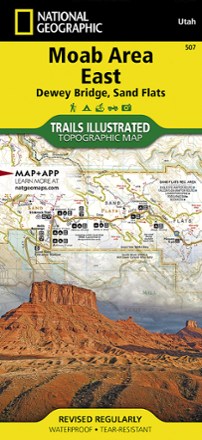


Moab Area East - Dewey Bridge, Sand Flats Map
Tech Specs
Las especificaciones se mantienen en Pack4Back GearDB (edición comunitaria e historial). Pueden diferir del fabricante o de tu unidad.
BrandNational Geographic
Best UseMultisport
State / ProvinceUtah
Folded Dimensions23.5 × 10.8 × 0.6 cm
Unfolded Dimensions95.9 × 64.8 cm
Map Scale1:37,500
Double SidedYes
WaterproofYes
PublisherNational Geographic
Copyright Year2022
Map Number507
Description
Whether you're going camping, hiking, mountain biking or rafting, the National Geographic Trails Illustrated Moab Area East - Dewey Bridge, Sand Flats map can help you navigate the area like a pro.
Datos clave
- The area's extensive mountain bike trail systems are clearly mapped and labeled
- Includes the major trail systems east of Moab, including Sand Flats, Behind the Rocks, Whole Enchilada, Fisher Towers, Fisher Mesa, Slickrock and Ken's Lake Recreation Area
- Additional trail systems include Upper Two Mile trails (state land trails), Manti-La Sal National Forest, and the Windows and Delicate Arch trails in Arches National Park
- Trails are symbolized by use (hiking, mountain biking, OHV) with trail difficulty indicated for mountain bike trails
- Trail segments are labeled with distances between junctions, and all trailheads and trail junctions are labeled with elevations
- 4x4 trails are highlighted in yellow with notes for obstacles and features along the route
- Group, primitive and developed campgrounds are shown with their amenities and the total number of sites
- Colorado River access points and mileages are mapped and labeled for river recreation
- Visitor centers, interpretive trails and scenic overlooks are prominently mapped and labeled with their amenities
- OHV, biker and desert safety tips, laws and etiquette are also provided
- Every Trails Illustrated map is printed on "backcountry tough" waterproof, tear-resistant paper