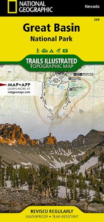


Great Basin National Park Topographic Map
Tech Specs
Las especificaciones se mantienen en Pack4Back GearDB (edición comunitaria e historial). Pueden diferir del fabricante o de tu unidad.
BrandNational Geographic
Best UseHiking
State / ProvinceUtah
Folded Dimensions23.5 × 10.8 cm
Unfolded Dimensions95.9 × 64.8 cm
Map Scale1:45,000 and 1:20,000
Double SidedYes
WaterproofYes
PublisherNational Geographic
Copyright Year2021
Map Number269
Description
Expertly researched and created in partnership with the park, this National Geographic Great Basin National Park topo map is a valuable tool for exploring the area's natural beauty and solitude.
Datos clave
- Features trail networks in the park along with key points of interest including Lehman Caves, bristlecone pine groves and the Snake Range
- Includes 2 detailed inset maps of the Wheeler Peak and Baker Lake areas
- Shows contour lines and elevations for summits, passes and several lakes
- Notes a variety of recreation features including campgrounds, trailheads, picnic areas and scenic viewpoints
- Full UTM grid is printed on the map to aid with navigation
- Printed on Backcountry Tough waterproof, tear-resistant paper
- Your purchase helps support National Geographic Society nonprofit's mission of research, education, conservation and exploration