

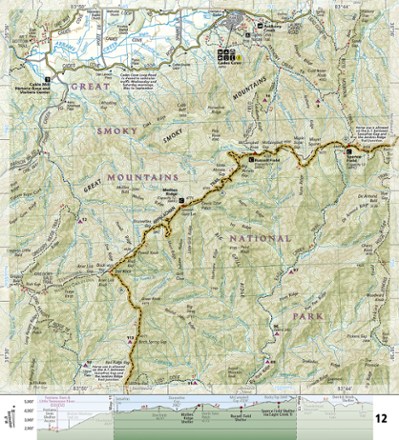
Appalachian Trail: Springer Mountain to Davenport Gap Topographic Map Guide
Tech Specs
Las especificaciones se mantienen en Pack4Back GearDB (edición comunitaria e historial). Pueden diferir del fabricante o de tu unidad.
Description
The detailed National Geographic Springer Mountain to Davenport Gap topographic map guide covers the Georgia, southeastern Tennessee and southwestern North Carolina sections of the Appalachian Trail.
Datos clave
- Unique, user-friendly booklet format contains detailed topographic maps centered on the trail, page by page, mile by mile
- Helpful trail profiles show the distance between shelters, camping areas and trail access points
- Features resupply locations, key points of interest, safety guidelines, local contact information, area history and more
- 1:63,360 scale
- Printed in the USA on durable, lightweight, waterproof and tear-resistant material designed to withstand all weather conditions
- Dimensions: 4.25 x 9.25 in.
- National Geographic Maps; copyright 2015