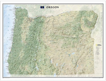
Oregon Wall Map - Tubed
Tech Specs
Las especificaciones se mantienen en Pack4Back GearDB (edición comunitaria e historial). Pueden diferir del fabricante o de tu unidad.
Description
Ideal for your home or office, the tubed National Geographic Oregon wall map colorfully displays the Beaver State's diverse terrain and vegetation with shaded relief and ocean bathymetry.
Datos clave
- Shows thousands of place names and precise locations of cities, major roadways and railways, airports, federal and state protected lands, mountain ranges and prominent peaks
- Also includes marine sanctuaries, military installations, major lakes, rivers and reservoirs and other geographic features
- Printed in the USA on heavy stock paper suitable for framing
- Dimensions: 40.5 x 30.25 in.
- 1:725,807 scale
- National Geographic Maps; copyright 2014