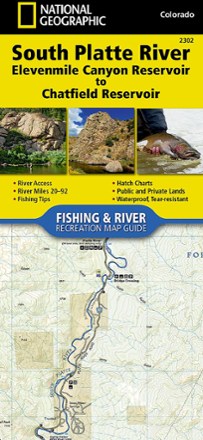
South Platte River Fishing & River Recreation Map Guide: Elevenmile Canyon Reservoir to Chatfield Reservoir
Tech Specs
Specifikace spravuje komunita v Pack4Back GearDB (včetně historie změn). Hodnoty se mohou lišit od výrobce nebo tvého kusu.
BrandNational Geographic
Best UseFishing
State / ProvinceColorado
Folded Dimensions23.5 × 10.8 cm
Unfolded DimensionsUnavailable
Map Scale1:31,680
Double SidedYes
WaterproofYes
PublisherNational Geographic
Copyright Year2017
Map Number2302
Description
A perfect companion for river recreation, the National Geographic South Platte River Fishing & River Map Guide is packed with details and maps to help plan and guide your adventures.
Klíčová fakta
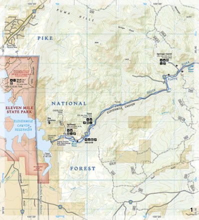
- Covers the South Platte River from just below Elevenmile Canyon Reservoir to Chatfield Reservoir in the southwestern suburbs of Denver
- Includes detailed river maps at a scale of 1 inch to 1/2 mile; at this scale, every turn in the river and rapid is clearly shown and labeled
- Each page is centered on the river and overlaps with the adjacent pages so finding any location along the river is easy
- Maps include river miles, access points, private and public lands, gaging stations, recreation sites and more
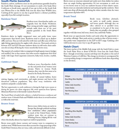
- Also includes stream flow charts, hatch charts and a table of river access points
- Full UTM grids printed on the maps aid with GPS navigation
- Introduction, descriptions of specific fly fishing strategies and notes on seasonal river fluctuations by Colorado fly fishing guide and author Pat Dorsey
- Booklet design is more convenient and easier to use than folded maps, but just as compact and lightweight
- Printed on "Backcountry Tough" waterproof, tear-resistant paper with stainless-steel staples