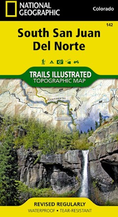


South San Juan / Del Norte Topographic Map
Tech Specs
Specifikace spravuje komunita v Pack4Back GearDB (včetně historie změn). Hodnoty se mohou lišit od výrobce nebo tvého kusu.
Description
Trails Illustrated South San Juan / Del Norte topographic map was expertly researched in partnership with the U.S. Forest Service and Bureau of Land Management to offer accurate, detailed trail info.
Klíčová fakta
- Map provides an unparalleled tool for exploring this rugged region of southwestern Colorado
- Coverage includes San Juan and Rio Grande national forests, South San Juan Wilderness, San Juan and Chalk Mountains, Rio Grande River and the Continental Divide
- Easy-to-read, yet highly detailed map shows comprehensive trail and road networks, along with designated trails for hiking, horseback riding, biking and more
- Clearly marked navigational aids with UTM coordinate grids, scale bar and full legend, essential for safely navigating the backcountry with GPS or compass
- Features key points of interest such as scenic views, campgrounds, trailheads, boat launches and picnic sites
- Color-coded boundaries for public lands including national parks, national forests, national monuments, ranger districts, wilderness areas, state parks and wildlife refuges
- 1:63,360 scale
- Printed in the USA on durable, lightweight, waterproof and tear-resistant material designed to withstand all weather conditions
- Folded dimensions: 4 x 7.5 in.; unfolded dimensions: 37.75 x 25.5 in.
- National Geographic Maps; copyright 2008