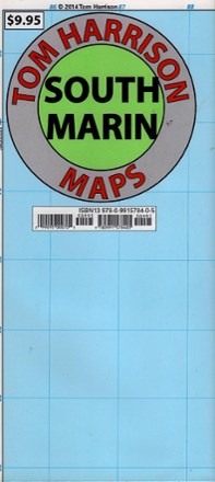
South Marin Map
Tech Specs
Specifikace spravuje komunita v Pack4Back GearDB (včetně historie změn). Hodnoty se mohou lišit od výrobce nebo tvého kusu.
Best UseHiking
Folded Dimensions24.1 × 10.2 cm
Unfolded Dimensions61.0 × 72.4 cm
Map Scale1:35,133
Double SidedYes
WaterproofYes
PublisherTom Harrison Cartography
Copyright Year2018
State / ProvinceCalifornia
Description
Venture north of San Francisco with this Tom Harrison Cartography South Marin map and discover an extensive network of trails throughout the Golden Gate National Recreation Area to hike or bike.
Features
- Full-color shaded-relief topographic map printed on high-quality tear-resistant and waterproof paper; folds up to pocket-size and is easy to read in all conditions
- Tom Harrison maps include color-coded symbols and trails, mileage between trail junctions, UTM grids, contour lines, vegetation and elevations at trail junctions
- Trailheads, ranger stations, campgrounds and facilities are clearly marked for easy navigation