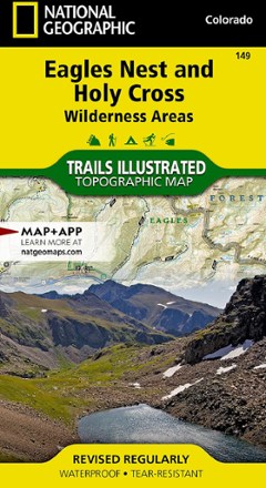


Eagles Nest and Holy Cross Wilderness Areas Topographic Map
Tech Specs
Specifikace spravuje komunita v Pack4Back GearDB (včetně historie změn). Hodnoty se mohou lišit od výrobce nebo tvého kusu.
BrandNational Geographic
Best UseHiking
Folded Dimensions10.2 × 19.1 cm
Unfolded Dimensions95.9 × 64.8 cm
Map Scale1:63,360
WaterproofYes
Copyright Year2013
State / ProvinceColorado
Map Number149
Description
The Trails Illustrated Eagles Nest and Holy Cross Wilderness Areas topographic map provides incredible detail of this scenic region in Colorado's Rocky Mountains.
Klíčová fakta
- Expertly researched map was created in partnership with local land management agencies
- Covers Mount of the Holy Cross, Green Mountain and Dillon reservoirs, Blue and Eagle rivers, Turquoise Lake and Breckenridge, Cooper, Vail, Copper Mountain and Beaver Creek
- Easy-to-read, yet highly detailed map shows comprehensive trail and road networks, along with designated trails for hiking, horseback riding, biking and more
- Clearly marked navigational aids with UTM coordinate grids, scale bar and full legend, essential for safely navigating the backcountry with GPS or compass
- Features key points of interest such as scenic views, campgrounds, trailheads, boat launches and picnic sites
- Color-coded boundaries for public lands including national parks, national forests, national monuments, ranger districts, wilderness areas, state parks and wildlife refuges
- 1:63,360 scale
- Printed in the U.S.A. on a durable, lightweight, waterproof, tear-resistant material designed to withstand all weather conditions
- Folded dimensions: 4 x 7.5 in.; unfolded dimensions: 37.75 x 25.5 in.
- National Geographic Maps; copyright 2013