Santa Monica Point Mugu State Park
Tech Specs
Specifikace spravuje komunita v Pack4Back GearDB (včetně historie změn). Hodnoty se mohou lišit od výrobce nebo tvého kusu.
Description
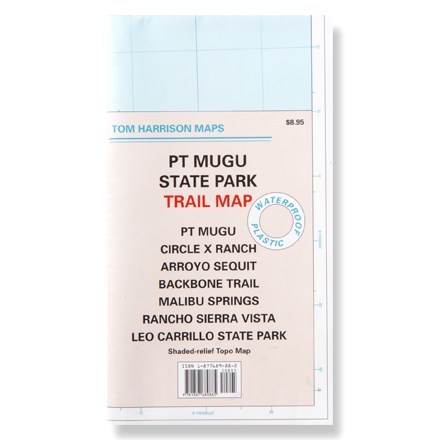
This shaded-relief topographic map details the trails of Point Mugu, Circle X Ranch, Arroyo Sequit and other Santa Monica area trails.
Klíčová fakta
- Waterproof map unfolds to 24 x 18 inches, single-sided; folds to 8 x 4.5 inches
- Features color-coded symbols and trails, mileage between trail junctions, latitude/longitude, contour lines, UTMs and up-to-date elevations
- Map scale: 1:31,680; contour interval: 50 feet
- Tom Harrison Maps; copyright 2005