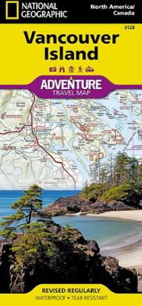


Vancouver Island, Canada, Map
Tech Specs
Specifikace spravuje komunita v Pack4Back GearDB (včetně historie změn). Hodnoty se mohou lišit od výrobce nebo tvého kusu.
BrandNational Geographic
Best UseTravel
Folded Dimensions23.5 × 10.8 × 0.8 cm
Unfolded Dimensions95.9 × 64.8 cm
Map Scale1:2,100,000
Double SidedYes
WaterproofYes
PublisherNational Geographic
Copyright Year2020
State / ProvinceBritish Columbia
Map Number3128
Description
This National Geographic Vancouver Island Adventure Map provides global travelers with the perfect combination of detail and perspective in a highly functional travel tool.
Klíčová fakta
- Cities and towns are clearly indicated and easy to find in the user-friendly index
- A road network complete with distances and designations for roads, motorways and expressways will help you find the route that's right for you
- Secondary routes are also marked for those seeking to explore off the beaten path
- Hundreds of points of interest and diverse, unique destinations are highlighted
- These include national parks, nature reserves, World Heritage sites, archeological sites, ski areas, hot springs, beaches, museums and more
- The south side of the print map shows Victoria, the capital of British Columbia, as well as Pacific Rim National Park Reserve and the costal town of Nanaimo
- The northern half of the printed map covers the much more remote part of the island
- Printed on durable synthetic paper, making the map waterproof, tear-resistant and tough; capable of withstanding the rigors of international travel
- Your purchase helps support National Geographic Society nonprofit's mission of research, education, conservation and exploration