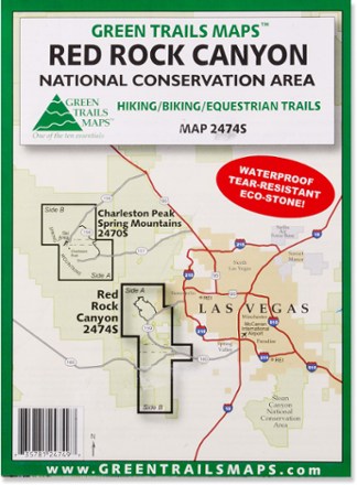
Map 2474S - Red Rock Canyon National Conservation Area
Tech Specs
Характеристики ведутся в Pack4Back GearDB (сообщество и история правок). Возможны расхождения с производителем или вашим экземпляром.
BrandGreen Trails
Best UseHiking
State / ProvinceNevada
Map Scale1:30,000
WaterproofYes
PublisherMountaineers Books
Copyright Year2016
Map Number2474
Description
Stretching from Calico Basin to Cottonwood Valley, the Green Trails Red Rock Canyon National Conservation Area map (2474S) is a detailed topographic guide to this region near Las Vegas, Nevada.
Ключевые факты
- This detail map of Red Rock Canyon covers Spring Mountain Ranch State Park and the Blue Diamond/Cottonwood Valley Mountain Bike Area
- Green Trails Maps show current trail, road and access information to national forests, national parks, state and local parks, and other public lands