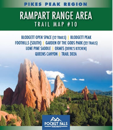

Pikes Park Region: Rampart Range Area Trail Map #10
Tech Specs
Характеристики ведутся в Pack4Back GearDB (сообщество и история правок). Возможны расхождения с производителем или вашим экземпляром.
Best UseHiking
State / ProvinceColorado
Folded Dimensions10.8 × 9.2 × 0.3 cm
Unfolded Dimensions43.2 × 27.9 × 2.5 cm
Map Scale1:12,900
Double SidedYes
WaterproofYes
PublisherOutdoors LLC
Copyright Year2015
SustainabilityContains Forest Stewardship Council (FSC) certified materials
Map Number10
Description
Explore the trails of Pike National Forest—including 34 in Blodgett Open Space and Garden of the Gods Park—with this pocket-sized and detailed Pikes Pea Region: Rampart Range Area Trail Map #10.
Ключевые факты
- Provides all the important details to plan a trip and stay on track—trail length, difficulty level, total elevation gain/loss, landmarks and directions to the trailhead
- Covers 12 trails in Blodgett Open Space and 22 trails in Garden of the Gods Park
- Additional trails covered: Blodgett Peak, Foothills (South), Lone Pine Saddle, Ormes (Devil's Kitchen), Queens Canyon and trail 302a
- Waterproof, tear-resistant map stands up to use out on the trails
- Perfectly sized to fit in your pocket, making it easy to take with you