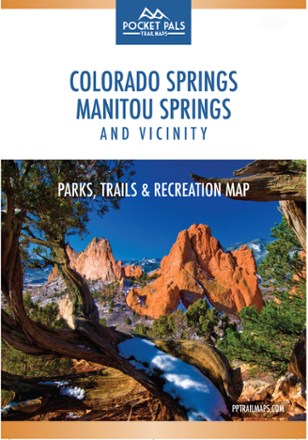
Colorado Springs, Manitou Springs and Vicinity: Parks, Trails and Recreation Map
Tech Specs
Характеристики ведутся в Pack4Back GearDB (сообщество и история правок). Возможны расхождения с производителем или вашим экземпляром.
Description
The Pocket Pals Colorado Springs, Manitou Springs and Vicinity map is a must-have for those who want to enjoy the great outdoors, including nature enthusiasts, families and young professionals.
Ключевые факты
- Provides all the important details to plan a trip and stay on track—trail length, difficulty level, total elevation gain/loss, landmarks and trailhead locations
- Includes waypoints (such as stream crossings, trail intersections, unique geologic features, overlooks, structural ruins, etc.) to identify along the way
- Also features detailed info on trails, parks, open spaces, dog parks, sports complexes, fishing, water-related recreation, golf courses, ice rinks and rock climbing
- Waterproof, tear-resistant map stands up to use out on the trails
- Perfectly sized to fit in your pocket, making it easy to take with you