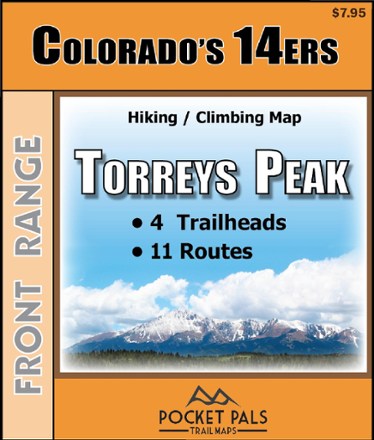
Colorado 14ers - Torreys Peak Trail Map
Tech Specs
Характеристики ведутся в Pack4Back GearDB (сообщество и история правок). Возможны расхождения с производителем или вашим экземпляром.
Best UseHiking
State / ProvinceColorado
Folded Dimensions10.8 × 9.2 × 0.3 cm
Unfolded Dimensions43.2 × 27.9 × 2.5 cm
Map Scale1:31,700
Double SidedYes
WaterproofYes
PublisherOutdoors LLC
Copyright Year2015
SustainabilityContains Forest Stewardship Council (FSC) certified materials
Description
Pocket-size, durable and detailed, the Pocket Pals Colorado 14ers - Torreys Peak trail map contains detailed information on 4 trailheads and 11 routes for hikers and climbers.
Ключевые факты
- Provides all the important details to plan a trip and stay on track—trail length, difficulty level, total elevation gain/loss, landmarks and directions to the trailhead
- Routes: South Slopes, Chihuahua Gulch, Dead Dog Couloir, Emperor Couloir, Eroica, Kelso Ridge, North Ridge, Northwest Face, South Paw Couloir, West Ridge & Grizzly Gulch Road
- Trailheads: Grizzly Gulch, Stevens Gulch, Chihuahua Gulch, Loveland Pass
- Includes waypoints (such as stream crossings, trail intersections, unique geologic features, overlooks, structural ruins, etc.) to identify along the way
- Waterproof, tear-resistant map stands up to use out on the trails
- Perfectly sized to fit in your pocket, making it easy to take with you