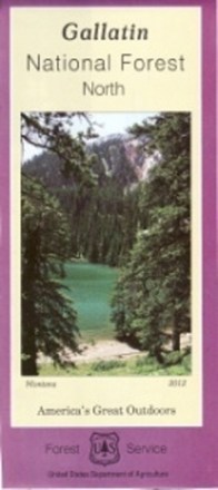
Gallatin National Forest - North - Map
Tech Specs
Характеристики ведутся в Pack4Back GearDB (сообщество и история правок). Возможны расхождения с производителем или вашим экземпляром.
Description
Plan an adventure in the northern portion of Gallatin national forest with the help of the Gallatin National Forest map, featuring the rugged Bridger, Crazy and Bangtail mountains.
Ключевые факты
- Printed on waterproof and tear-resistant material for durability
- Highlights recreation opportunities such as trails, campgrounds, boat launches and more
- Includes official US Forest Service district office contact information to check local conditions as well as township and range section numbers
- Federal, state and private land ownership boundaries are color-coded