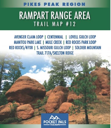
Pikes Peak Region: Pikes Peak Area Trail Map #12
Pocket Pals Trail MapsDurable and pocket-sized, the Pocket Pals Pikes Peak Area Trail Map #12 covers trails located in the vicinity of Woodland Park in Teller County, including many trails in the Pike National Forest.
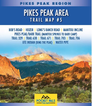
Pikes Peak Region: Pikes Peak Area Trail Map #5
Pocket Pals Trail MapsExplore the trails of Pike National Forest from just west of Manitou Springs to the first half of Barr Trail with the pocket-size yet detailed Pikes Peak Region: Pikes Peak Area Trail Map #5.
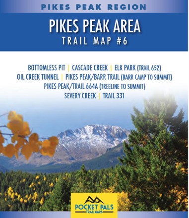
Pikes Peak Region: Pikes Peak Area Trail Map #6
Pocket Pals Trail MapsDurable and pocket-sized, the Pocket Pals Pikes Peak Area Trail Map #6 covers trails located around the summit of Pikes Peak, including the Barr Trail from Barr Camp to the summit.
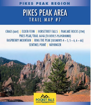
Pikes Peak Region: Pikes Peak Area Trail Map #7
Pocket Pals Trail MapsDurable and pocket-sized, the Pocket Pals Pikes Peak Area Trail Map #7 covers trails located on the western flank of Pikes Peak, straight south of Divide, Colorado.
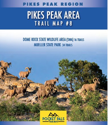
Pikes Peak Region: Pikes Peak Area Trail Map #8
Pocket Pals Trail MapsDurable and pocket-size, the Pocket Pals Pikes Peak Area Trail Map #8 covers trails to the west of Pikes Peak, including 34 trails in Mueller State Park and 16 trails in Dome Rock State Wildlife Area.
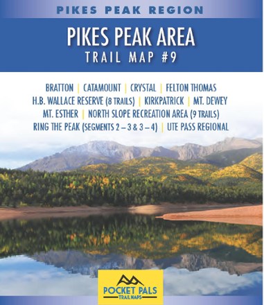
Pikes Peak Region: Pikes Peak Area Trail Map #9
Pocket Pals Trail MapsDurable and pocket-sized, the Pocket Pals Pikes Peak Area Trail Map #9 covers trails in the Pike National Forest and North Slope Recreation Area that lie to the north of Pikes Peak.
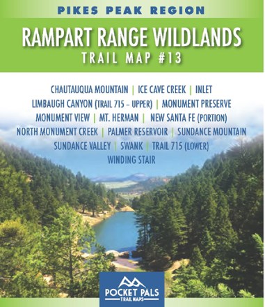
Pikes Peak Region: Rampart Range Wildlands Trail Map #13
Pocket Pals Trail MapsLike a personal adventure guide that fits in your pocket, the Pocket Pals Pikes Peak Region: Rampart Range Wildlands Trail Map #13 covers trails in the Pike National Forest west of Monument.

Pikes Peak Region: Rampart Range Wildlands Trail Map #14
Pocket Pals Trail MapsLike a personal adventure guide that fits in your pocket, the Pocket Pals Pikes Peak Region: Rampart Range Wildlands Trail Map #14 covers trails in the Pike National Forest northwest of Monument.
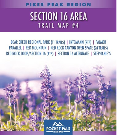
Pikes Peak Region: Section 16 Area Trail Map #4
Pocket Pals Trail MapsExplore the trails west of Colorado Springs with this pocket-sized, durable and detailed Pikes Peak Region: Section 16 Area Trail Guide #4.