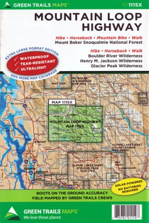
Map 111SX - Mountain Loop Highway
Tech Specs
Les fiches techniques sont tenues sur Pack4Back GearDB (communauté et historique des versions). Des écarts avec le fabricant ou ton matériel sont possibles.
BrandGreen Trails
Best UseHiking
Folded Dimensions22.9 × 15.2 cm
Unfolded Dimensions76.2 × 55.9 cm
Map Scale1:63,360
Double SidedYes
WaterproofYes
PublisherGreen Trails Maps
Copyright Year2019
State / ProvinceWashington
Map Number111
Description
Filled with beautifully detailed topography, the Green Trails Mountain Loop Highway map (111SX) pulls you off the scenic road to explore the beautiful wilderness western Washington has to offer.
Points clés
- Covers Mount Baker Snoqualmie National Forest, Boulder River Wilderness, Henry M. Jackson Wilderness and Glacier Peak Wilderness
- Green Trails Maps show current trail, road and access information to national forests, national parks, state and local parks, and other public lands
- Printed on waterproof and tear-resistant paper, this map withstands the rigors of adventures in less than ideal conditions