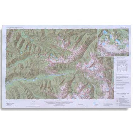

Custom Correct Seven Lakes Basin Map
Tech Specs
Les fiches techniques sont tenues sur Pack4Back GearDB (communauté et historique des versions). Des écarts avec le fabricant ou ton matériel sont possibles.
Description
Covers the Seven Lakes Basin area ranging from Slide Peak to Hurricane Hill
Points clés
- Scale is 1:62,500; scale matches USGS (United States Geological Survey) 15 Minute Series
- Elevations in feet; road and trail distances in miles and kilometers
- One inch is equivalent to a mile; contour interval is 100 feet
- National Geodetic Vertical Datum of 1929; Compiled from 1985 USGS base maps