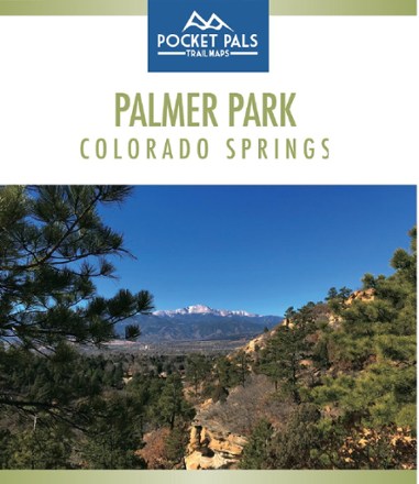
Palmer Park, Colorado Springs Trail Map
Tech Specs
Les fiches techniques sont tenues sur Pack4Back GearDB (communauté et historique des versions). Des écarts avec le fabricant ou ton matériel sont possibles.
Best UseHiking
State / ProvinceColorado
Folded Dimensions10.8 × 9.2 × 0.3 cm
Unfolded Dimensions43.2 × 27.9 × 2.5 cm
Map Scale1:6,960
Double SidedYes
WaterproofYes
PublisherOutdoors LLC
Copyright Year2018
SustainabilityContains Forest Stewardship Council (FSC) certified materials
Description
The largest park in the Springs, Palmer Park is a perfect place to get deep into nature while still being in the middle of a city. Explore it with this Pocket Pals Palmer Park, Colorado Springs map.
Points clés
- Elevation Outdoors Magazine named Palmer Park the "Best Urban Park" in its Best of Rockies 2017 list; the park offers some of the best overall views of the city and Pikes Peak
- Provides all the important details to plan a trip and stay on track—trail length, difficulty level, total elevation gain/loss, landmarks and trailhead locations
- Also features information on the history, geology and flora and fauna of this park, plus unique geological features such as tall rock spires or hoodoos and steep cliffs
- Includes waypoints (such as stream crossings, trail intersections, unique geologic features, overlooks, structural ruins, etc.) to identify along the way
- Waterproof, tear-resistant map stands up to use out on the trails
- Perfectly sized to fit in your pocket, making it easy to take with you