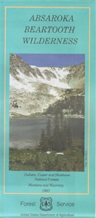

Absaroka Beartooth Wilderness Map
Tech Specs
Les fiches techniques sont tenues sur Pack4Back GearDB (communauté et historique des versions). Des écarts avec le fabricant ou ton matériel sont possibles.
Description
Plan an adventure with this map of the Absaroka Beartooth Wilderness, featuring a rugged, picturesque topography containing hundreds of lakes, high-rolling plateaus and deep, glacier-carved valleys.
Points clés
- Includes Granite Peak, Montana's highest point at 12,799 ft.
- Highlights recreation opportunities such as trails, campgrounds, boat launches and more; includes color-coded land ownership boundaries (federal, state and private)
- Includes official U.S. Forest Service district office contact information to check local conditions as well as township and range section numbers