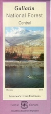
Gallatin National Forest - Central - Map
Tech Specs
Les fiches techniques sont tenues sur Pack4Back GearDB (communauté et historique des versions). Des écarts avec le fabricant ou ton matériel sont possibles.
Description
From fly fishing to epic hikes, there's an endless amount of outdoor adventure in the Gallatin national forest. Explore the forest's central portion with the help of the Gallatin National Forest map.
Points clés
- Printed on waterproof and tear-resistant material for durability
- Includes the Absaroka Beartooth Wilderness, Boulder River, Deer Creek vicinity, Cooke City and the Beartooth Front
- Highlights recreation opportunities such as trails, campgrounds, boat launches and more
- Includes official US Forest Service district office contact information to check local conditions as well as township and range section numbers
- Federal, state and private land ownership boundaries are color-coded