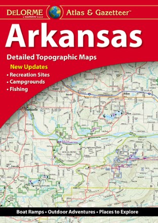
Arkansas Atlas and Gazetteer
Tech Specs
Las especificaciones se mantienen en Pack4Back GearDB (edición comunitaria e historial). Pueden diferir del fabricante o de tu unidad.
BrandDeLorme
Best UseTravel
State / ProvinceArkansas
Folded Dimensions39.4 × 27.9 × 20.3 cm
Unfolded Dimensions39.4 × 55.9 × 17.8 cm
Map Scale1:125,000
Double SidedYes
WaterproofYes
PublisherGarmin
Copyright Year2021
Description
Whether you're looking for the scenic route or want to discover a new spot to explore, the DeLorme Arkansas Atlas and Gazetteer will be your go-to guide for planning trips around the Natural State.
Datos clave
- Detailed, large-format topographic maps
- Includes topographic maps with elevation contours, major highways and roads, dirt roads, trails and land use data
- Gazetteer section provides essential information on points of interest, landmarks, state and national parks, campgrounds, boat launches, historic sites, scenic drives and more