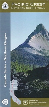

Pacific Crest National Scenic Trail - Northern Oregon (PCT-8) Map
Tech Specs
Las especificaciones se mantienen en Pack4Back GearDB (edición comunitaria e historial). Pueden diferir del fabricante o de tu unidad.
Description
The official Forest Service Pacific Crest National Scenic Trail - Northern Oregon (PCT-8) map shows you the way to ascend more than 57 major mountain passes.
Datos clave
- The northern Oregon section of the PCT skirts the shores of innumerable bodies of water
- Waterproof and tear-resistant map highlights recreation opportunities including trails, campgrounds, boat launches and more
- Federal, state and private land ownership boundaries are color-coded
- Displays township and range section numbers
- Includes official US Forest Service district office contact information