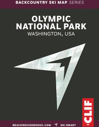


Backcountry Ski Map: Olympic National Park
Tech Specs
Las especificaciones se mantienen en Pack4Back GearDB (edición comunitaria e historial). Pueden diferir del fabricante o de tu unidad.
BrandBeacon Guidebooks
Best UseBackcountry Skiing
State / ProvinceWashington
Folded Dimensions12.7 × 11.4 × 1.3 cm
Unfolded Dimensions55.9 × 45.7 cm
Map Scale1:24,000
Double SidedYes
WaterproofYes
PublisherBeacon Guidebooks
Copyright Year2021
Description
From entry-level day tours to bucket list adventures, the Backcountry Ski Map: Olympic National Park brings you details on runs, skin tracks, slope angles, ATES rating, parking, trailheads and more.
Datos clave
- Professional knowledge is delivered to you in a compact, waterproof, tear-resistant tool to help you make better plans and decisions in the backcountry
- Shows approach, descents, traverses, circumnavigations and avalanche information
- From Sam Luthy and Matt Schonwald