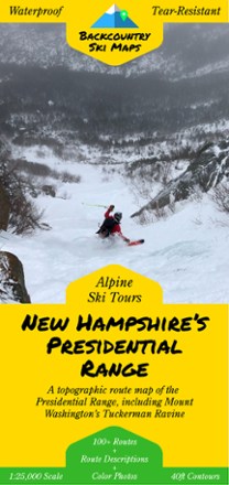
New Hampshire's Presidential Range Backcountry Ski Map
Tech Specs
Las especificaciones se mantienen en Pack4Back GearDB (edición comunitaria e historial). Pueden diferir del fabricante o de tu unidad.
Description
With over 100 routes for epic trips and making fresh tracks, New Hampshire's Presidential Range Backcountry Ski map is a ski-specific map and guide to the area's best steeps and descents.
Datos clave
- This highly detailed topographic map with 40 ft. contour lines is printed on waterproof, tear-resistant tree-free synthetic paper for durability and use in any conditions
- Including Mount Washington's Tuckerman Ravine, this map features route guides to over 100 of the area's best descents with detailed text and color photos
- Also includes suggested ascent routes to help get you up the hill as efficiently as possible
- The variety of descents appeals to backcountry skiers of all skill levels