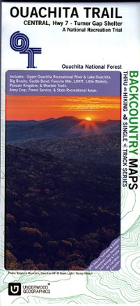
Ouachita Trail Central Map: Highway 7-Turner Gap Shelter
Tech Specs
Las especificaciones se mantienen en Pack4Back GearDB (edición comunitaria e historial). Pueden diferir del fabricante o de tu unidad.
Description
See the best of the Ozarks! One of 3 maps covering this trail, the Ouachita Trail Western topographic hiking map covers the western section of the trail from Talimena State Park to Turner Gap shelter.
Datos clave
- The Ouachita National Recreation Trail is 223 miles stretching from Talimena State Park in Oklahoma to Pinnacle Mountain State Park on the outskirts of Little Rock, Arkansas
- This map covers Upper Ouchita Recreational River, Lake Ouchita, Big Brushy, Caddo Bend, Fourche Mountain, LOViT, Little Blakely, Possum Kingdom and Womble Trails
- The elevation oscillates between 700 ft. and nearly 2,000 ft.; other small trails are also well marked and documented in this wonderful map
- Printed in color on both sides on waterproof and tear-resistant material for durability