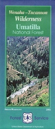

Wenaha-Tucannon Wilderness Map - Umatilla National Forest
Tech Specs
Las especificaciones se mantienen en Pack4Back GearDB (edición comunitaria e historial). Pueden diferir del fabricante o de tu unidad.
Description
Craving some Pacific Northwestern adventure? Hike, camp and explore the northern Blue Mountains of southeastern Washington and northeastern Oregon with the help of the Wenaha-Tucannon Wilderness map.
Datos clave
- Encompasses 176,557 acres of the Umatilla National Forest
- Highlights recreation opportunities such as trails, campgrounds, boat launches and more; includes color-coded land ownership boundaries (federal, state and private)
- Includes official U.S. Forest Service district office contact information to check local conditions as well as township and range section numbers