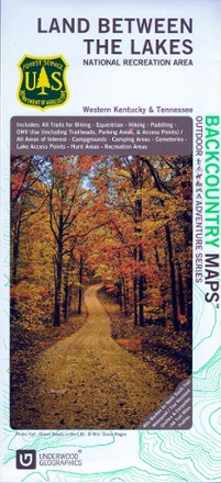
Land Between The Lakes Recreation Map
Tech Specs
Las especificaciones se mantienen en Pack4Back GearDB (edición comunitaria e historial). Pueden diferir del fabricante o de tu unidad.
Description
Discover a vast national recreation area in Kentucky and Tennessee with the Land Between The Lakes recreation map. This GPS-compatible topo map is packed with information on myriad outdoor activities.
Datos clave
- Contains information about the available trails and services for hikes, cyclists, campers, paddlers and hunters, including boundaries and dates of opening and closing seasons
- Topographic map scaled to 1:45,000 with contour lines set every 20 ft. of elevation change; GPS compatible
- Partially sponsored by the U.S. Department of Agriculture