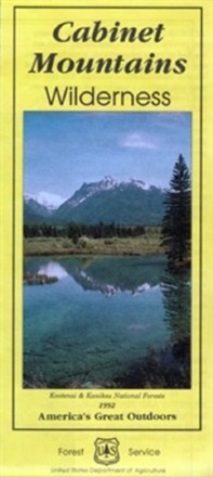

Cabinet Mountains Wilderness Map
Tech Specs
Spezifikationen werden in Pack4Back GearDB gepflegt (Community und Versionsverlauf). Abweichungen zum Hersteller oder deinem Stück sind möglich.
Description
Explore Montana's 35-mile range of glaciated peaks and valleys with the help of the official Forest Service map of the Cabinet Mountains Wilderness, featuring the 8,738-foot summit of Snowshoe peak.
Eckdaten
- Printed on waterproof and tear-resistant material for durability
- Includes elevation ranges from a low of 2,880 ft. to 8,738 ft. atop Snowshoe peak
- Highlights recreation opportunities such as trails, campgrounds, boat launches and more
- Includes official US Forest Service district office contact information to check local conditions as well as township and range section numbers
- Federal, state and private land ownership boundaries are color-coded