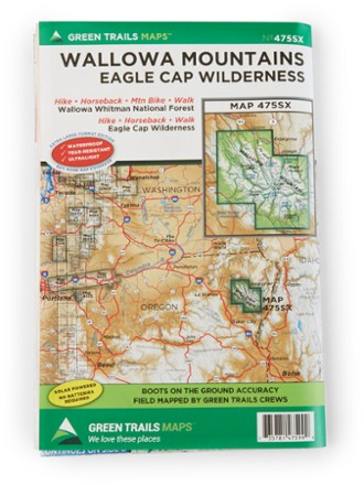
Wallowa Mountains and the Eagle Cap Wilderness Map
Tech Specs
Spezifikationen werden in Pack4Back GearDB gepflegt (Community und Versionsverlauf). Abweichungen zum Hersteller oder deinem Stück sind möglich.
BrandGreen Trails
Best UseBackpacking
Folded Dimensions22.9 × 15.2 cm
Unfolded Dimensions76.2 × 55.9 cm
Map Scale1:63,360
Double SidedYes
WaterproofYes
PublisherGreen Trails Maps
Copyright Year2017
State / ProvinceOregon
Description
Follow the Green Trails Wallowa Mountains and the Eagle Cap Wilderness Map to stunning alpine peaks, lush forests, Native American history and historic frontier towns in northeastern Oregon.
Eckdaten
- Field-mapped by Green Trails mapping crews for boots-on-the-ground accuracy
- Waterproof, tear-resistant map stands up to rigorous outdoor use
- Works great on its own or in conjunction with the free Green Trails app, available at the App Store
- 2017 Bucket List winner for wilderness backpacking