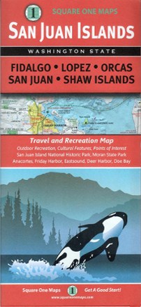
San Juan Islands Travel And Recreation Map
Tech Specs
Spezifikationen werden in Pack4Back GearDB gepflegt (Community und Versionsverlauf). Abweichungen zum Hersteller oder deinem Stück sind möglich.
BrandSquare One Maps
Best UseHiking
Folded Dimensions23.1 × 10.4 × 0.8 cm
Unfolded Dimensions86.4 × 62.2 cm
Map Scale3.8 × 5.1 cm
Double SidedYes
PublisherSquare One Maps
Copyright Year2014
State / ProvinceWashington
Description
Whether you're hoping to spot an orca from the shoreline, or meandering through one of many incredible parks, the San Juan Islands map guides you to the bounty of scenic wonder just a ferry ride away.
Eckdaten
- Covers Fidalgo Lopez Orcas San Juan and Shaw Islands, featuring San Juan Island National Park, Moran State Park, Anacortes, Friday Harbor, Eastsound, Deer Harbor and Doe Bay
- Full-color map Includes information on roads, transportation, points of interest, outdoor places for recreation activities, historical facts and places, and cultural features