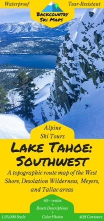
Lake Tahoe: Southwest and West Shore Backcountry Ski Map
Tech Specs
Specifikace spravuje komunita v Pack4Back GearDB (včetně historie změn). Hodnoty se mohou lišit od výrobce nebo tvého kusu.
Description
Set fresh tracks with the Lake Tahoe: Southwest Backcountry Ski Map as your guide to over 60 routes in Tahoe's Southwest backcountry and the area's best descents and thrill-seeking experiences.
Klíčová fakta
- This highly detailed topographic map with 40 ft. contour lines is printed on waterproof, tear-resistant, tree-free synthetic paper for durability and use in any conditions
- Covering West Shore, Desolation Wilderness, Meyers and Tallac backcountry areas, this map includes route guides to over 60 descents with detailed text and color photos
- Also includes suggested ascent routes to help get you up the hill as efficiently as possible
- The variety of descents—from steep, jaw-dropping couloirs to wide open glades—appeals to backcountry skiers of all skill levels