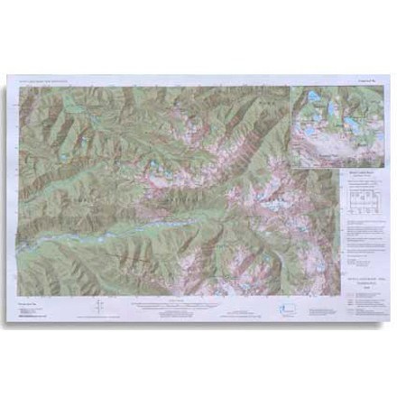

Custom Correct Seven Lakes Basin Map
Tech Specs
Specifikace spravuje komunita v Pack4Back GearDB (včetně historie změn). Hodnoty se mohou lišit od výrobce nebo tvého kusu.
Description
Covers the Seven Lakes Basin area ranging from Slide Peak to Hurricane Hill
Klíčová fakta
- Scale is 1:62,500; scale matches USGS (United States Geological Survey) 15 Minute Series
- Elevations in feet; road and trail distances in miles and kilometers
- One inch is equivalent to a mile; contour interval is 100 feet
- National Geodetic Vertical Datum of 1929; Compiled from 1985 USGS base maps