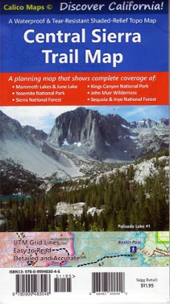
Central Sierra Trail Map
Tech Specs
Specifikace spravuje komunita v Pack4Back GearDB (včetně historie změn). Hodnoty se mohou lišit od výrobce nebo tvého kusu.
BrandCalico Maps
Best UseTravel
State / ProvinceCalifornia
Folded Dimensions17.8 × 10.2 cm
Unfolded Dimensions71.1 × 50.8 cm
Map Scale1:164,700
Double SidedYes
WaterproofYes
PublisherCalico Maps
Copyright Year2022
SustainabilityContains recycled materials
Description
Discover the majestic beauty of the eastern and western Sierra Nevada mountains with the foldable, pocket-sized convenience of the Central Sierra Trail Map as your guide.
Klíčová fakta
- Shaded-relief topographic map is printed on waterproof and tear-resistant paper
- Includes trailheads, campgrounds, backcountry camps, groceries, gas, forest road names and more
- Provides trail mileages and elevation points
- Covers Mammoth; June Lake; Yosemite National Park; Kings Canyon National Park; John Muir Wilderness; Ansel Adams Wilderness; and the Sequoia, Sierra and Inyo national forests