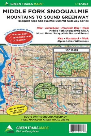
Map 174SX - Middle Fork Snoqualmie
Tech Specs
Specifikace spravuje komunita v Pack4Back GearDB (včetně historie změn). Hodnoty se mohou lišit od výrobce nebo tvého kusu.
BrandGreen Trails
Best UseHiking
State / ProvinceWashington
Folded Dimensions22.9 × 15.2 cm
Unfolded Dimensions76.2 × 57.1 cm
Map Scale1:31,680
Double SidedYes
WaterproofYes
PublisherGreen Trails Maps
Copyright Year2018
Map Number174
Description
Venture into wilderness of the Mountains to Sound Greenway just 20 miles from Seattle with the Green Trails Middle Fork Snoqualmie map (174SX), a beautifully detailed topographical guide.
Klíčová fakta
- Covers Middle Fork Snoqualmie Natural Resources Conservation Area, Mount Baker-Snoqualmie National Forest and Alpine Lakes Wilderness
- Green Trails Maps show the most current trail, road and access information to national forests, national parks, state and local parks, and other public lands
- Printed on waterproof and tear-resistant paper in a larger format, this map withstands the rigors of adventures in less than ideal conditions