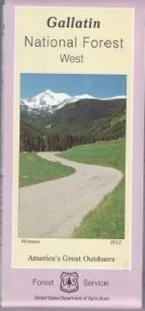
Gallatin National Forest - West - Map
Tech Specs
Specifikace spravuje komunita v Pack4Back GearDB (včetně historie změn). Hodnoty se mohou lišit od výrobce nebo tvého kusu.
Description
Covering the Gallatin, Madison and Henry's Lake mountain ranges, the Gallatin National Forest - West - map helps you plan and prepare for an outdoor adventure in the forest's western region.
Klíčová fakta
- Features Hyalite canyon, Hebgen lake basin and the Lee Metcalf wilderness
- Printed on waterproof and tear-resistant material for durability
- Highlights recreation opportunities such as trails, campgrounds, boat launches and more
- Includes official US Forest Service district office contact information to check local conditions as well as township and range section numbers
- Federal, state and private land ownership boundaries are color-coded