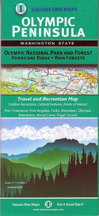
Olympic Peninsula Map
Tech Specs
Specifikace spravuje komunita v Pack4Back GearDB (včetně historie změn). Hodnoty se mohou lišit od výrobce nebo tvého kusu.
BrandSquare One Maps
Best UseTravel
Folded Dimensions22.4 × 10.4 × 0.8 cm
Unfolded Dimensions87.6 × 62.2 cm
Map Scale1 inch: 6 miles
Double SidedYes
PublisherSquare One Maps
Copyright Year2014
State / ProvinceWashington
Description
Filled with lush rainforests, rugged coastlines and epic ridges, the Olympic Peninsula takes you off-grid where trails lead to natural springs and camping is at its best. This map shows you the way.
Klíčová fakta
- Covers Olympic National Park and Forest, Hurricane Ridge, Aberdeen, Port Townsend, Port Angeles, Forks, Hood Canal, Puget Sound, Bremerton and Olympia
- Shows outdoor recreation opportunities, cultural features and points of interest