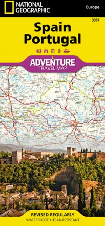


Spain and Portugal Map
Tech Specs
Specifikace spravuje komunita v Pack4Back GearDB (včetně historie změn). Hodnoty se mohou lišit od výrobce nebo tvého kusu.
BrandNational Geographic
Best UseTravel
Folded Dimensions23.5 × 10.8 × 0.8 cm
Unfolded Dimensions95.9 × 64.8 cm
Map Scale1:1,000,000
Double SidedYes
WaterproofYes
PublisherNational Geographic
Copyright Year2019
Map Number3307
Description
The National Geographic Spain and Portugal Adventure Map is designed to meet your travel needs. With its detailed information by your side, you can feel confident on your international travels.
Klíčová fakta
- Cities and towns are clearly indicated and easy to find in the user-friendly index
- Road network with distances and designations for motorways, expressways and secondary routes will help you find the route that's right for you
- Specialty content includes hundreds of diverse and unique recreational, ecological, cultural and historical destinations
- Eastern half of the map shows the eastern half of Spain from its northern borders with France and Andorra south along its Mediterranean coastline to Almera
- Portugal and the western half of Spain including the Canary Islands are covered on the other half of the map
- Every Adventure Map is printed on durable synthetic paper, making them waterproof, tear-resistant and tough to withstand the rigors of international travel