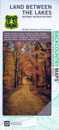
Land Between The Lakes Recreation Map
Tech Specs
Specifikace spravuje komunita v Pack4Back GearDB (včetně historie změn). Hodnoty se mohou lišit od výrobce nebo tvého kusu.
Description
Discover a vast national recreation area in Kentucky and Tennessee with the Land Between The Lakes recreation map. This GPS-compatible topo map is packed with information on myriad outdoor activities.
Klíčová fakta
- Contains information about the available trails and services for hikes, cyclists, campers, paddlers and hunters, including boundaries and dates of opening and closing seasons
- Topographic map scaled to 1:45,000 with contour lines set every 20 ft. of elevation change; GPS compatible
- Partially sponsored by the U.S. Department of Agriculture