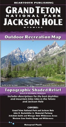

Grand Teton National Park and Jackson Hole Outdoor Recreation Map
Tech Specs
BrandBeartooth Publishing
Best UseHiking
State / ProvinceWyoming
Folded Dimensions8 x 4.2 inches
Unfolded Dimensions39.2 x 27 inches
Map Scale1:80,000
Double SidedYes
WaterproofYes
PublisherBeartooth Publishing
Description
Discover one of the country's most stunningly scenic areas with the Beartooth Publishing Grand Teton National Park and Jackson Hole map, and enjoy great opportunities for outdoor sport and recreation.
Features
- Covers the southern border of Yellowstone National Park to south of Hoback Junction, all of Grand Teton National Park, and the Jedediah Smith Wilderness
- Also covers the western portions of the Teton and Gros Ventre wilderness areas
- Includes two 1:40,000 scale detail maps for the dense trail systems of Teton Pass and the Jackson/Cache Creek area
- Map also includes descriptions for 8 local hikes and 9 local mountain bike rides