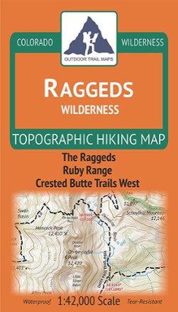
Colorado Raggeds Wilderness Map
Outdoor Trail MapsExplore Colorado's Western Slope with this Raggeds Wilderness topographic hiking map, covering all of the hiking trails in the 65,000-acre Raggeds Wilderness west of Crested Butte.

Colorado Rawah Wilderness Map
Outdoor Trail MapsCovering 75,000 acres of wilderness south of Wyoming border, this highly detailed hiking map of Rawah Wilderness leads you along the trail to epic views of lakes, mountains and wide, open spaces.

Colorado Rocky Mountain National Park Map
Outdoor Trail MapsWith so much to explore throughout Rocky Mountain National Park, you're bound to discover plenty of incredible lakes, jagged peaks and densely wooded areas with this highly detailed hiking map.

Colorado Sangre de Cristo Wilderness North Map
Outdoor Trail MapsThis Colorado Sangre de Cristo Wilderness North topographic hiking map shows all of the hiking trails in the northern part of the Sangre de Cristo Wilderness of central Colorado.

Colorado Sangre de Cristo Wilderness South Map
Outdoor Trail MapsThis Colorado Sangre de Cristo Wilderness South topographic hiking map shows all of the hiking trails in the southern part of the Sangre de Cristo Wilderness of central Colorado.
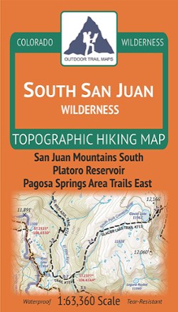
Colorado South San Juan Wilderness Map
Outdoor Trail MapsPlot your own adventure with this Colorado South San Juan Wilderness topographic hiking map, covering all the hiking trails in this wilderness area in the southern portion of the San Juan Mountains.

Colorado Uncompahgre Wilderness Map
Outdoor Trail MapsThe Colorado Uncompahgre Wilderness topographic hiking map shows all of the hiking trails in this wilderness area spanning 103,000 acres in southwest Colorado's San Juan Mountains.

Colorado Vasquez/Byers/Ptarmigan Peak Wilderness Map
Outdoor Trail MapsThis Colorado Vasquez/Byers/Ptarmigan Peak Wilderness topographic hiking map shows all of the hiking trails in 3 wilderness areas spanning the Continental Divide over the central Front Range.
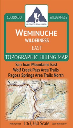
Colorado Weminuche Wilderness East Map
Outdoor Trail MapsThe Colorado Weminuche Wilderness East topographic hiking map shows all of the hiking trails in the eastern part of the Weminuche Wilderness in the San Juan Mountains of southern Colorado.

Colorado Weminuche Wilderness West Map
Outdoor Trail MapsThe Colorado Weminuche Wilderness West topographic hiking map shows all of the hiking trails in the western part of the Weminuche Wilderness in the San Juan Mountains of southern Colorado.

Colorado West Elk Wilderness Map
Outdoor Trail MapsHike to your heart's content in Colorado's rugged West Elk Wilderness with this topographic hiking map, covering the West Elk Mountains, the Castles and Gunnison Area Trails West.
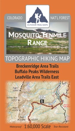
Mosquito-Tenmile Range Topographic Map
Outdoor Trail MapsPlan your own adventure with the tough, compact Mosquito-Tenmile Range topographic map. It shows all the hiking trails in the Mosquito Range and its subrange, the Tenmile Range, of central Colorado.

Mount Zirkel Wilderness Topographic Map
Outdoor Trail MapsPlan your own adventure with the compact Mount Zirkel Wilderness topographic map. It shows hiking trails in the Mount Zirkel Wilderness in the Park Range of northern Colorado near Steamboat Springs.

Pikes Peak and Colorado Springs Topographic Map
Outdoor Trail MapsPlan your own adventure with the Pikes Peak and Colorado Springs topographic map. It shows all hiking trails in and around the Pikes Peak Massif in the Front Range of Colorado near Colorado Springs.