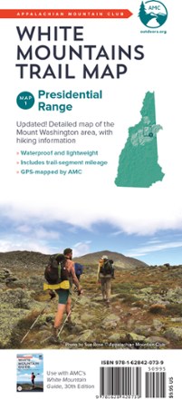
White Mountains Trail Map: Presidential Range
Tech Specs
Les fiches techniques sont tenues sur Pack4Back GearDB (communauté et historique des versions). Des écarts avec le fabricant ou ton matériel sont possibles.
BrandAMC
Best UseHiking
State / ProvinceNew Hampshire
Folded Dimensions22.9 × 10.2 × 0.4 cm
Double SidedYes
WaterproofYes
PublisherAppalachian Mountain Club Books
Copyright Year2017
Map Number1
Description
Because foul weather is bound for any route, the AMC White Mountains: Presidential Range trail map is completely waterproof to guide you across the summits of New Hampshire named after presidents.
Points clés
- Updated, full-color double-sided map printed on waterproof material
- Map 1 covers the Presidential Range, including an inset map of Mount Washington
- Includes trail-segment mileage